Knowledge centre

Desert remote-sensing medicine

Connecting satellites, ground observation, and health evidence to map environmental exposure over large areas and through time.

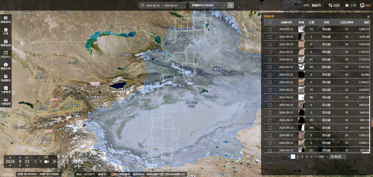
Satellite-monitoring data interface used in desert-medicine research

Scientific background

Satellites repeatedly observe land-surface temperature, vegetation, water, land cover, and dust transport. Combined with stations, mobile sensors, and meteorological records, these observations help describe exposure differences in remote regions.

Remote-sensing measurements are not the same as personal exposure. Resolution, cloud, revisit time, ground validation, and patterns of human activity all affect interpretation. The discipline therefore connects environmental observations to population and clinical research while making uncertainty explicit.

The frontier combines satellite, ground-sensor, reanalysis, and health data, using ground validation, scale matching, and explicit uncertainty to improve interpretation.

Relevance to DML research

DML treats remote-sensing medicine as an interdisciplinary direction for mapping environmental variation in remote drylands and informing field-sampling design.

References

  1. European Space Agency. Earth Observation for Public Health. Global Development Assistance thematic report D17, May 2024.European Space Agency · 2024 · GDA thematic report D17 · May 2024
  2. Voiland A. How dust affects the world’s health. NASA Earth Observatory, 17 March 2023.NASA Earth Observatory · 2023 · Earth Observatory article · 17 March 2023
  3. Bahadur FT, Shah SR, Nidamanuri RR. Applications of remote sensing vis-à-vis machine learning in air quality monitoring and modelling: a review. Environmental Monitoring and Assessment. 2023;195(12):1502.Environmental Monitoring and Assessment · 2023 · PMID 37987882 · DOI 10.1007/s10661-023-12001-2
Back to research